Katong vs Joo Chiat: A Tale of Two East Coast Icons
The East Coast of Singapore is home to two of the island’s most culturally rich neighborhoods: Katong and Joo Chiat. While they share a common heritage rooted in Peranakan culture, these districts have evolved into distinct places with unique identities. Understanding their differences—geographically and from a placemaking perspective—offers insight into how history, community, and urban design shape the character of a neighborhood.
—
Geographical Context
• Katong
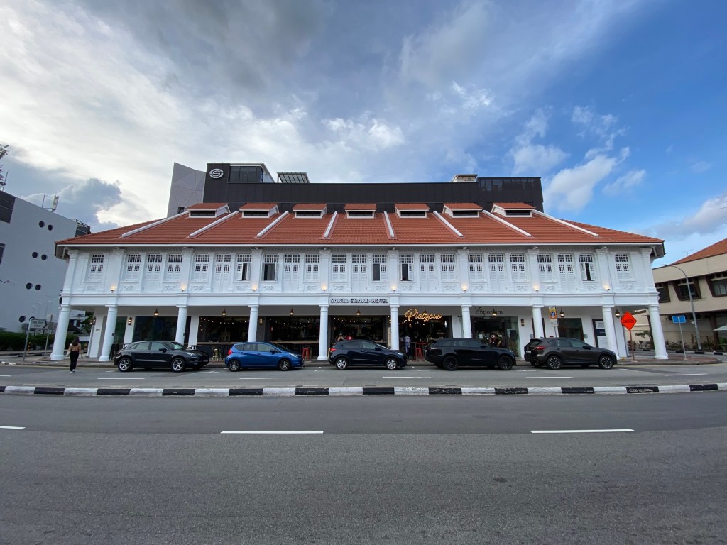
Katong traditionally refers to the area around East Coast Road, stretching from Mountbatten Road toward Marine Parade. Historically, it was a seaside retreat for wealthy families, and even today, its proximity to East Coast Park gives it a coastal charm. Katong’s boundaries are less formally defined, but it is often associated with the cluster of heritage shophouses near East Coast Road and Katong Shopping Centre. Before the reclamation of Marine Parade in the 1970s, this was defined as the coastal east of Singapore.
• Joo Chiat
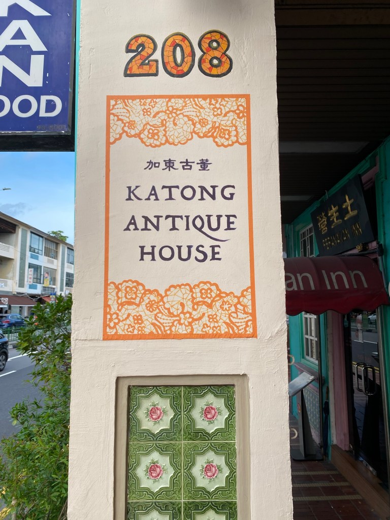
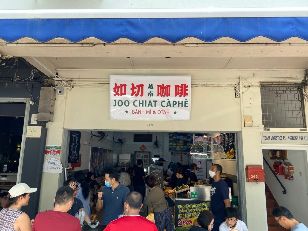
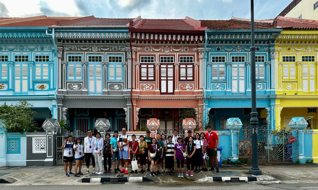
Joo Chiat lies adjacent to Katong, centered around Joo Chiat Road, which runs perpendicular to East Coast Road. It extends toward Geylang Serai, creating a cultural corridor that blends Peranakan heritage with Malay traditions. Geographically, Joo Chiat is more inland compared to Katong, and its streetscape is denser, with a mix of conserved shophouses and newer developments.
Historical Context
As a place, Katong pre-dates the arrival of Chew Joo Chiat and the subsequent naming of roads after the Gambier King in the early 1900s. The concept of Katong goes as far back as the 1800s after Raffles’ arrival in Singapore. Based on my research the history of Katong is as follows:
1819–1822: The colonial beginnings
Katong (then called Tanjong Katong) marked the eastern boundary of the British settlement established by Stamford Raffles. Its original extent stretched from Sandy Point (present-day Tanjong Rhu) to Deep Water Point (present-day Tanjong Katong), fronting the sea.
Late 19th to Early 20th Century: Seaside Retreat
Katong evolved into a coastal suburb lined with villas, mansions, and weekend retreats for wealthy Europeans, Peranakans, and Jews. Its boundaries were loosely understood as the Upper East Coast Road to Tanjong Rhu, including coconut plantations like Grove Estate.
1960s–1980s: Land Reclamation & Boundary Shift
The East Coast Reclamation Scheme (1966–1985) added 1,525 hectares of land and 18 km of new coastline, pushing the shoreline south and creating Marine Parade and East Coast Park. Katong lost its direct seafront; its southern boundary shifted inland.
Modern era: Two places intertwined
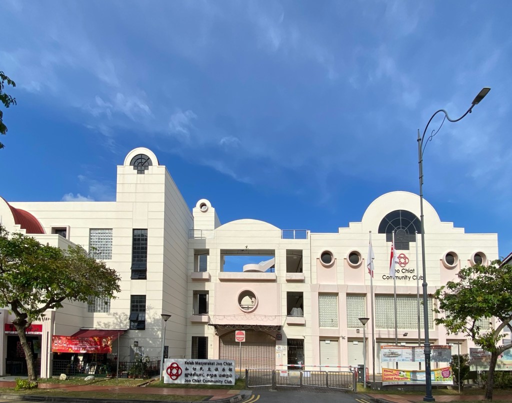
With the rapid development of Singapore post-independence, and the connection of the island by a modern transportation system, distances between places shrank and geography and identity inter-mixed to form new placemaking norms, Katong and Joo Chiat with their cultural background and close proximities, fused together in the late 2010s to form the concept of the Katong-Joo Chiat precinct which the Urban Redevelopment Authority and National Heritage Board had defined in their various plans and official communications.
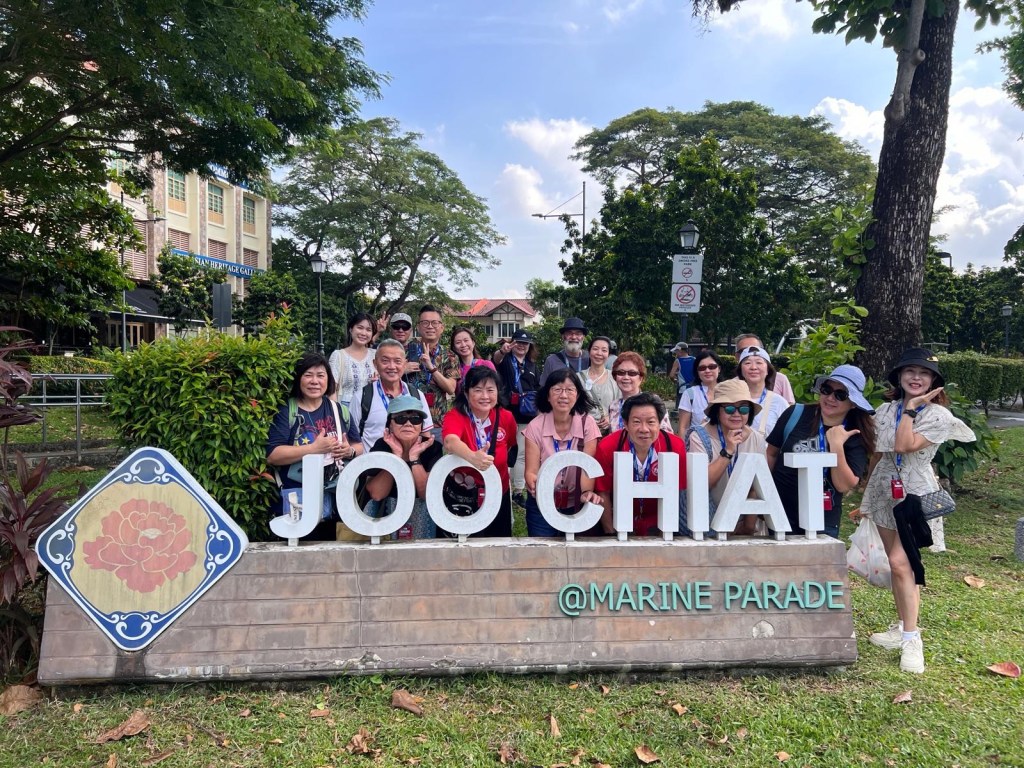
A visual guide to Katong-Joo Chiat
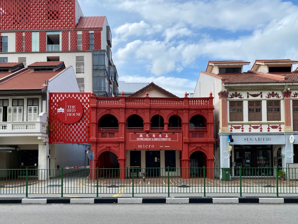
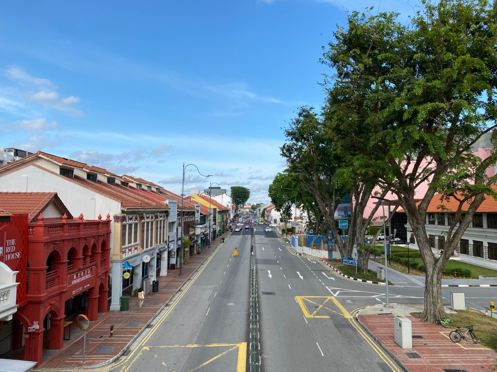
Katong: Katong Culture defines this as the main thoroughfare along East Coast Road, bounded by Still Road and Amber Road. This is the commercial heart of the district.
Joo Chiat: Katong Culture defines this as the area surrounding Joo Chiat Road leading to Changi Road. This is a more eclectic mix of residential and commercial developments. The famous Koon Seng shophouses lie within Joo Chiat.

Leave a comment